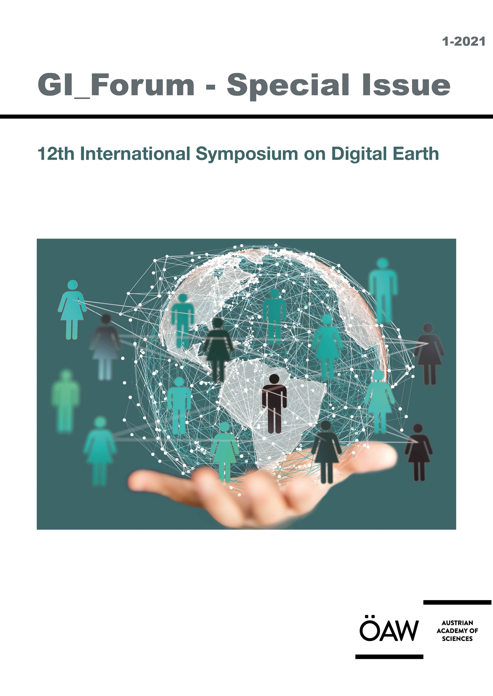
Thomas BLASCHKE - Josef STROBL - Julia WEGMAYR (Eds.)


GI_Forum 2021, Volume 9, Issue 1

12th International Symposium on Digital Earth


ISSN 2308-1708
Online Edition

ISBN 978-3-7001-8947-3
Online Edition
doi:10.1553/giscience2021_01_
GI_Forum 2021,  Volume 9,  Issue 1 
 
Open access


Verlag der Österreichischen Akademie der Wissenschaften
Austrian Academy of Sciences Press
A-1011 Wien, Dr. Ignaz Seipel-Platz 2
Tel. +43-1-515 81/DW 3420, Fax +43-1-515 81/DW 3400
https://verlag.oeaw.ac.at, e-mail: verlag@oeaw.ac.at

GI_Forum publishes high quality original research across the transdisciplinary field of Geographic Information Science (GIScience). The journal provides a platform for dialogue among GI-Scientists and educators, technologists and critical thinkers in an ongoing effort to advance the field and ultimately contribute to the creation of an informed GISociety. Submissions concentrate on innovation in education, science, methodology and technologies in the spatial domain and their role towards a more just, ethical and sustainable science and society. GI_Forum implements the policy of open access publication after a double-blind peer review process through a highly international team of seasoned scientists for quality assurance. Special emphasis is put on actively supporting young scientists through formative reviews of their submissions. Only English language contributions are published.


Starting 2016, GI_Forum publishes two issues a Year.
Joumal Information is available at: GI-Forum

GI_Forum is listed on the Directory of Open Access Journals (DOAJ)

Bestellung/Order


GI_Forum 2021, Volume 9, Issue 1

ISSN 2308-1708
Online Edition

ISBN 978-3-7001-8947-3
Online Edition


Send or fax to your local bookseller or to:

Verlag der Österreichischen Akademie der Wissenschaften
Austrian Academy of Sciences Press
A-1011 Wien, Dr. Ignaz Seipel-Platz 2,
Tel. +43-1-515 81/DW 3420, Fax +43-1-515 81/DW 3400
https://verlag.oeaw.ac.at, e-mail: bestellung.verlag@oeaw.ac.at
UID-Nr.: ATU 16251605, FN 71839x Handelsgericht Wien, DVR: 0096385

Bitte senden Sie mir
Please send me
 
Exemplar(e) der genannten Publikation
copy(ies) of the publication overleaf


NAME


ADRESSE / ADDRESS


ORT / CITY


LAND / COUNTRY


ZAHLUNGSMETHODE / METHOD OF PAYMENT
    Visa     Euro / Master     American Express


NUMMER

Ablaufdatum / Expiry date:  

    I will send a cheque           Vorausrechnung / Send me a proforma invoice
 
DATUM, UNTERSCHRIFT / DATE, SIGNATURE

BANK AUSTRIA CREDITANSTALT, WIEN (IBAN AT04 1100 0006 2280 0100, BIC BKAUATWW), DEUTSCHE BANK MÜNCHEN (IBAN DE16 7007 0024 0238 8270 00, BIC DEUTDEDBMUC)
X
BibTEX-Export:

X
EndNote/Zotero-Export:

X
RIS-Export:

X 
Researchgate-Export (COinS)

Permanent QR-Code

doi:10.1553/giscience2021_01_s104


doi:10.1553/giscience2021_01_s104


Thema: geography
Thomas BLASCHKE - Josef STROBL - Julia WEGMAYR (Eds.)


GI_Forum 2021, Volume 9, Issue 1

12th International Symposium on Digital Earth


ISSN 2308-1708
Online Edition

ISBN 978-3-7001-8947-3
Online Edition
doi:10.1553/giscience2021_01_
GI_Forum 2021,  Volume 9,  Issue 1 
 
Open access


Filippo Iodice, Federica D’Acunto, Lorenzo Bigagli
PDF Icon  Mapping Nitrogen from Satellite Data to Improve Soil Quality - A Worked Example ()
S.  104 - 111
doi:10.1553/giscience2021_01_s104

Open access

Verlag der Österreichischen Akademie der Wissenschaften


doi:10.1553/giscience2021_01_s104
Abstract:
Soils are complex ecosystems. They play a key role in providing sustainable life on Earth, meeting the needs of humans and regulating several environmental processes. The United Nation’s 2030 Agenda for Sustainable Development and the related 17 Goals include a commitment to the preservation of soil quality. However, the adopted indicators lack the measurement of a key nutrient: nitrogen. The aim of this paper is to call for the integration of two nitrogen indexes to measure soil quality and to present a worked example of geospatial technologies applied to nitrogen monitoring, aiding in farmland management and decision-making. Due to their inherent time/location precision, remote sensing data can provide insight in predicting the impact of agricultural practices and optimise their application.

Keywords:  land degradation, soil quality, nitrogen
  2021/06/29 10:26:33
Object Identifier:  0xc1aa5576 0x003c9b60
https://creativecommons.org/licenses/by-nd/4.0/

GI_Forum publishes high quality original research across the transdisciplinary field of Geographic Information Science (GIScience). The journal provides a platform for dialogue among GI-Scientists and educators, technologists and critical thinkers in an ongoing effort to advance the field and ultimately contribute to the creation of an informed GISociety. Submissions concentrate on innovation in education, science, methodology and technologies in the spatial domain and their role towards a more just, ethical and sustainable science and society. GI_Forum implements the policy of open access publication after a double-blind peer review process through a highly international team of seasoned scientists for quality assurance. Special emphasis is put on actively supporting young scientists through formative reviews of their submissions. Only English language contributions are published.


Starting 2016, GI_Forum publishes two issues a Year.
Joumal Information is available at: GI-Forum

GI_Forum is listed on the Directory of Open Access Journals (DOAJ)


Vergessen Sie nicht das Login am Server, wenn Sie auf Kapitel zugreifen wollen, die nicht allgemein zugänglich sind.
Links zu diesen Dokumenten werden erst nach dem Login sichtbar.
Do not forget to Login on the server if you want to access chapters that are not freely accessible.
Links to these documents will only be visible after logon.

Verlag der Österreichischen Akademie der Wissenschaften
Austrian Academy of Sciences Press
A-1011 Wien, Dr. Ignaz Seipel-Platz 2
Tel. +43-1-515 81/DW 3420, Fax +43-1-515 81/DW 3400
https://verlag.oeaw.ac.at, e-mail: verlag@oeaw.ac.at